
Long ago I'd read about the ancient aboriginal earthworks in northern Michigan, and wanted to find some of them, since I would be remiss as a Michigan ruinographer if I did not include an exposition of them in some form. It took a long time before I finally figured out where exactly to go look. And even then, they were so well hidden that I didn't realize I had found one until I was standing ten feet from it, even with the leaves off the trees. And I only found one out of the four or five that make up the group in Ogemaw County that I was focusing on.
Ogemaw County was set off in 1840 and organized in 1875, according to David M. Brown's Michigan County Atlas. The first settlers and lumberjacks started arriving by 1871. The name "Ogemaw" comes from the Anishinaabe word ogimaa, which means "speaker," or "chief." The county was named after Chief Ogemakegato (or Ogemaunkeketo) of the Saginaw band of Ojibwa, who was the principal speaker during the 1819 Saginaw Cession and Treaty, which ceded another huge swath of the Mitten to the U.S., including what would later become Ogemaw County. Chief Ogemakegato later was awarded a medal by President VanBuren for his speech before Congress in 1837. He is buried in Roosevelt Park in Bay City.
Three old Ojibwa footpaths converged in the county according to a book by the Rose City Area Historical Society, and served as the genesis of the modern-day state roads M-76, M-55, and M-30. The population of Ogemaw County today remains sparse, and it is covered by a surprising amount of farmland for being a northern forest county. The Au Sable State Forest covers about a quarter of the county.
The ancient earthworks in question were mostly scattered around the village of Selkirk. Brown writes that "it is said" that Selkirk was named after an "old Indian" who sold "Indian wares" at a store near there, and that the town was originally named Selkirk Sands from 1887 to 1955 when it had a post office.
In the 1890s, there was a bit of a media sensation when mysterious artifacts of a supposed ancient race began to be "discovered" in Gratiot County and Montcalm County, which I talked about in my older post, "The Traverse City Code". Though there were plenty of real artifacts being plundered from real burial mounds, that entire ordeal was found to be an elaborate hoax, but it reflects that there seems to have been a deep fascination, and perhaps awe or fear, with which white settlers held the strange and little-understood elder "Indian" culture that had lately been displaced from this land in those days. No doubt the discovery of these strange mounds and rings in the deep dark forest by the lumbermen only a few years before had stoked the fires of rumor and fable, which in turn passed by word of mouth for years to come.

There was even a large placard in front of the Selkirk village hall that said "OGEMAW COUNTY: ANCIENT EARTHWORK CAPITOL," and went on to describe what they were, with a diagram of a typical example. The placard did not discuss where the earthworks were located however, probably because they are mostly on private property and they don't want people with shovels going treasure hunting, or new-age weirdos trying to hold rituals there. As such, I will respect the code of silence and not disclose the locations of the mounds either. By my count there are five near Selkirk, and at least one seems to be visible on Google Maps, but it is literally in someone's backyard and apparently kept mowed by the homeowner.
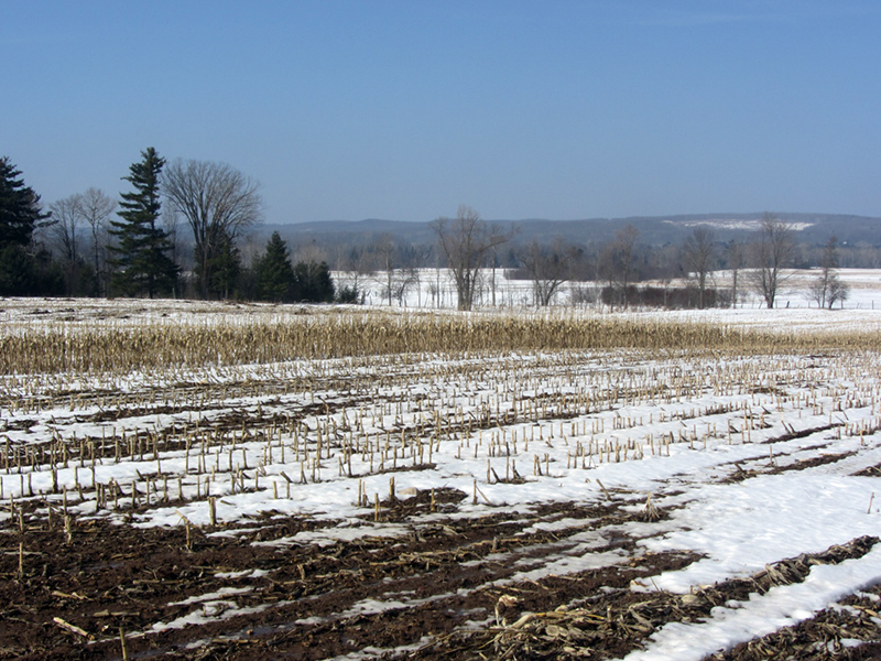
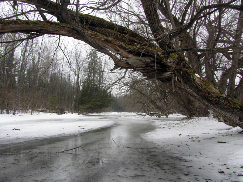
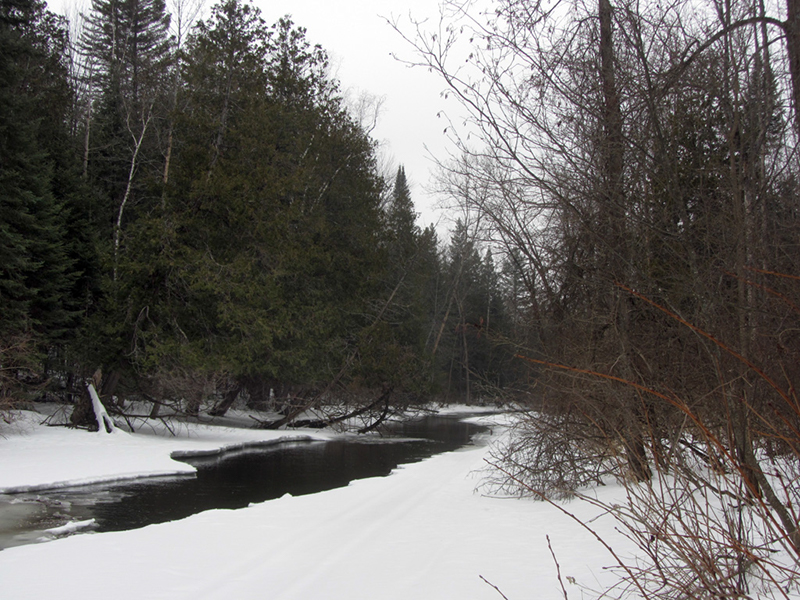
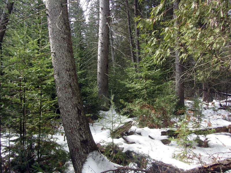
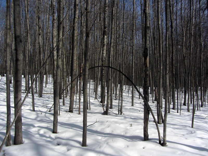
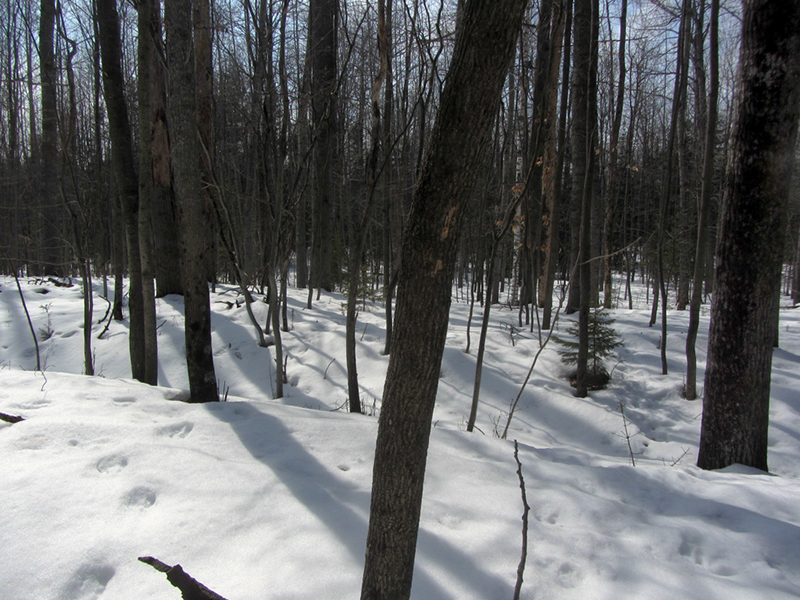
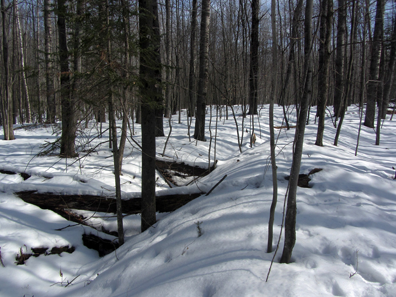
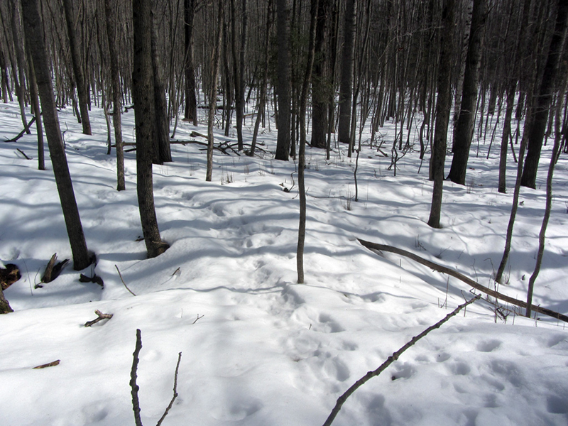
In the early thaw season with at least a foot of soft snow still on the ground, I was concerned that I might not be able to find anything in the deep woods that was only maybe about two feet high, and whose profile had been worn extremely dull during the past thousand interceding years. Nonetheless, I brought my snowshoes and set out. I originally planned to hike along a certain section of the frozen Elfir River to see if anything was visible from there, since at least one or two of the earthworks are supposed to be right on it. Walking on the frozen river proved much easier than tromping through the dense snowy woods, but this unexpected warm weather had begun to seriously compromise the strength of the ice.
Now, maybe you aren't quite as excited as I am about finding a two-foot-high pile of dirt out in the woods, but perhaps you don't realize just how old these things are...most of the earthworks in Michigan are dated from about 1,000 to 2,500 years ago, which makes them about the same age as the Roman Collosseum or Greek Parthenon. The only difference is that the Greeks and Romans recorded their histories, and there is a wealth of their art and cultural artifacts to study, whereas we know almost nothing about the Michigan mound-builders other than what shovels, radiocarbon dating, and a lot of speculation can tell us.
These fading ruins might represent the absolute oldest phase of human occupation that can still be seen in the great state of Michigan, a lost time period whose lore was forgotten centuries ago. This is the eldritch stuff of myth and fantasy whispered about in the campfire tales of pioneers who first began exploring westward into that great pagan expanse beyond the original 13 Colonies, when Native Americans were feared heathen savages, and nothing was known about the history of the vast lands they inhabited or what ancient cities might be hidden beneath the eternal canopy of the great primeval North American woodland.
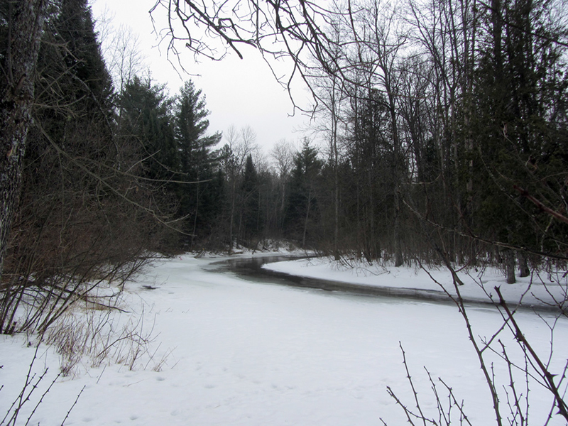
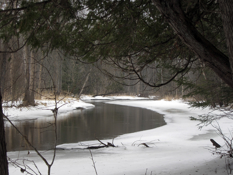
Among the few sounds I heard in this silent sylvan domain aside from the sound of my snowshoes crushing the wet snow was the occasional clattering of ice chunks in the current, jostling down the narrow opening in the river. It wasn't long before I decided that walking on the ice just wasn't going to work for this mission, and up into the tangled woods I went.
I was looking for a certain fork in the river, where another branch fed into this one upstream; there I knew was supposed to be at least one mound.
According to the scholarly book Michigan, A History of the Wolverine State, there were once over 1,000 burial mounds identified in Michigan around the time of white encroachment, most of them in the southern Mitten. Great vast "garden beds" were once common in Lower Michigan, usually discernible by a raised earth mound enclosing a recognizable geometrical shape many acres in size, usually a rectangle, but one shaped like a spoked wheel or compass was reportedly found near Kalamazoo. It has been theorized that these shaped enclosures were for irrigating crops.
Though "Indian mounds" are common throughout the Midwest, the garden beds are almost exclusively a Michigan phenomenon, with only a handful reported in Wisconsin and Indiana. So far I've noticed that Michigan has three general classes of ancient earthworks: burial mounds, the aforementioned garden beds, and "earth ring" forts or enclosures. There are also the mysterious stone walls in Negwegon State Park, which I discuss in another post. It was the "earth ring" type that I was out in the woods looking for today.
In the 19th century incoming white settlers began finding these earthworks, but the Anishinaabe (Potawatomi) people of southern Michigan told them that the garden beds were not made by the "Indians" themselves; they were built by long-dead ancestors who the Potawatomi called Yam-ko-desh, or the "Prairie People." They warned the white people to beware of harming the mounds because the spirits of the Yam-ko-desh still guarded them. As late as 1956 one archaeologist, Clair Reynolds, was still issued this warning by a tribal elder who refused to guide him to a mound site for study. Naturally, since we Americans were so respectful of native cultures, there were almost no mounds left to study in southern Michigan by the 20th century.
While the garden beds of southern Michigan were discovered by the first farmers, more burial mounds, and the "earth rings" were discovered in northern Michigan by lumberjacks as its towering primordial forests of virgin pine were felled. The presence of so many burial mounds indicates that the Yamkodesh were a populous people at one time, but it has been speculated that the culture suffered from a rapid extinction, possibly due to some disease. Another theory states that as the ancestors of the Anishinaabe tribes (Ojibwa, Ottawa, Potawatomi, Wyandot, etc.) migrated into the Great Lakes, they found the Yamkodesh already there, "thicker than the leaves on a tree," according to Ottawa legend. Some say that the Anishinaabe tribes formed an alliance to exterminate the Yamkodesh.
 |
| Typical garden bed patterns (photo from Detroit Techno Militia) |

A 1997 article in the Detroit News by Vivian M. Baulch entitled "Michigan's mysterious Indian mounds" quotes a University of Michigan professor, Dr. W.B. Hinsdale, who surveyed Michigan's Lower Peninsula in 1925 and listed the mounds that he found. At that time seven counties had more than 20 mounds; there were 57 in Clinton County, 25 in Macomb County, 12 in Wayne County, and two in Oakland County. According to Baulch, Hinsdale also studied pottery and carvings found in the 22 mounds located in Sanilac County, and found a skull "that showed evidence of successful brain surgery." Hinsdale published his work in the book Primitive Man in Michigan, and wrote that as of 1925,
In Detroit I know that there were about 19 burial mounds shown in the vicinity of Delray when the U.S. Army surveyed and mapped that area for the construction of Fort Wayne in 1841; four of them were on the grounds of the fort itself, near the famous "Sand Hill at Spring Wells," which gave the village of Springwells its name. Today only one of the Fort Wayne mounds remains, the result of two mounds being bulldozed together, and it is viewable by the public from behind a fence.
There are fully 600 mounds still to be seen in the state and at least 500 more must have been destroyed within the last 150 years. The enclosures, usually known as "Indian forts," but probably having no connection with military usage, are also vanishing rapidly. It is the duty of the state to locate, measure, photograph and chart these structures before they disappear entirely.
The mounds that once lined the Rouge River are all gone, even the massive one that stood near where Zug Island is now. In Grand Rapids there is the Norton Group of 13 mounds, which according to Michigan State University once numbered as many as 40 mounds, and are "perhaps the best preserved Hopewell mounds in North America," protected by National Historic Landmark status. It surprises me that we would have anything in Michigan that is considered the "best preserved." In all of Michigan, I would estimate that there are only about 25 earthworks still left that are discernible today.
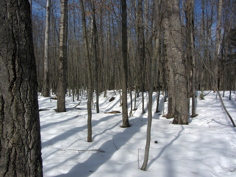
Apparently, I had already reached the fork in the river; the main branch was still totally frozen-over upstream of here, while the tributary was melted through and running strong. Along the mile or more that I had hiked so far, I had seen nothing up in the woods on either bank that indicated the presence of earthworks, so it was time to start exploring back in a downstream direction more thoroughly, moving in a zig-zag pattern further up into the woods from the water. This would consume most of the rest of the day, so it was good that I had carried food with me.
I have read that while the Ottawa or Potawatomi people called the mound-builders "Yamkodesh," the Ojibwa called them "Muskodesh" (though neither word appears in my copy of the Concise Dictionary of Minnesota Ojibwe for what it's worth). This ancient race is better known to us Europeans now as the Hopewell Culture, because "Hopewell" was the surname of the Ohio landowner on whose property the first mounds were excavated and evidence of this elder culture was discovered.
The Hopewell are a prehistoric culture about which still very little is known, other than they were the first humans to successfully attempt agriculture in the Great Lakes region according to Michigan, A History of the Wolverine State, and that they built mounds for their dead. They flourished from about 500 BC and went into a rapid decline by 700 AD, as the historic tribes we know today such as the Anishinaabe began to migrate into the region.
The beings of the Hopewell Culture were not necessarily the ancestors of the Native American tribes we know today; the two cultures were distinct from each other but it is commonly agreed upon that the Anishinaabe tribes looked upon those who built the mounds of Michigan as ancient ones, a people so old as to be considered like an almost mythical elder race to them. By the time the French voyageurs began arriving in Michigan in the 1600s and keeping diaries of who and what they saw, the Hopewell were already a fading memory of the distant past, and their structures already lost in the towering primordial forests.

Other than hunting, fishing, and mound-building, we know that the Hopewell knew how to make decorated pottery, jewelry, woven fabrics, musical instruments, smoke tobacco, and farm crops. What is perhaps most strange is that the Hopewell Culture seems to have been more advanced than the Native American culture that supplanted them, and the objects they made often consisted of materials found in areas as distant as the Rocky Mountains and the Atlantic coast, indicating that the Hopewell had an extensive trade network.
It has also been speculated that the complex patterns of some of the garden beds indicate that the Hopewell possessed some level of sophistication in mathematics. Some archaeologists believe that the Hopewell had a high level of intelligence, and traded with the Aztecs and Mayans. I'm sure some of those History Channel "experts" would tell you that the Hopewell also had help from aliens, but that just goes to show you what the History Channel is about these days.
It is theorized that the Hopewell were identical to, or related to, the ancient aboriginals who began mining copper in Michigan's Keweenaw Peninsula around 3000 BC. This was the first instance of metalworking by humankind in the Western Hemisphere, and it coincided with the beginning of the Bronze Age in Mesopotamia. I spoke of the ancient copper miners in a couple older posts ("Manitoti, the Copper Magnet", "The Entrance is Guarded by A Giant Snake", "Ultima Thule").

This type of earth ring that I was after is not only found in Ogemaw County by the way, there is also a group of them in Missaukee County, not far to the west of here. According to a story from Doug Masselink in the book Weird Michigan, by Linda S. Godfrey, the Missaukee earth rings have some similarities that provide strong evidence that the four mound groups were associated with one another in some way; they have openings or "gateways" in their enclosures at 340° and 250°, which also line up with each other and are separated by identical distances, such as 6.21 miles or 24.8 miles (which is four times 6.2).
I'm not sure I ascribe as much amazement to these findings as Masselink however; just because we need compasses and GPS units to figure all this out does not necessarily mean that those who made the mounds thought of their construction as some incredible feat, too.
An interesting analysis occurs in the book The Archaeology of Michigan, a scholarly work written by archaeologist James E. Fitting in 1970. He said that the Ogemaw County earthworks represent "one of the more mysterious archaeological manifestations in eastern Michigan," because they are accompanied by "very little cultural material." In other words, few artifacts such as arrow heads or pottery fragments were ever found in the excavations that were done here.
Mr. Fitting's book also usually refers to the earthworks as "forts," which is no longer the current accepted theory on what purpose they were built to serve, but certainly this type of construction with a raised berm formed from an excavated surrounding ditch or moat is identical to the very same type of fort construction that was taught to European military engineers from medieval times up until the late 1800s. Fitting lists those of his forebears who made written accounts of the "forts" along the Elfir River, starting with M.L. Leach in 1885, Cyrus Thomas in 1894, W.B. Hinsdale in 1924 and 1925, Fred Dustin in 1932, Harold Moll and Eldon Cornelius in 1958, and G.A. Wright in 1966. He also described their varying sizes and shapes as reported by Dustin, who observed three out of the four to be oval.
The first earthwork was 208 feet long by 188 feet wide with walls two feet high above grade, but surrounded by a ditch up to five feet deep. Dustin's informal diggings produced a few flint chips, and over a hundred pottery sherds belonging to probably five vessels. The second earthwork Dustin observed was 314 feet long by 280 feet wide, with its walls varying from two feet to five feet above grade, with the surrounding ditch ranging from three to seven feet deep. It had four gateways with causeways around its circumference. He found sherds from seven vessels, chert flakes, a roughed-out celt, and other objects.
The third earthwork was near the river and a spring, and measured 180 feet by 139 feet, with walls three feet high and ditch up to seven feet deep. There Dustin found sherds from six vessels, a cache of sandstone abraders, three projectile points, several scrapers, more chert chips, and other materials. The fourth earthwork that Dustin observed was actually horseshoe-shaped as opposed to oval, being 216 feet long and about 120 feet across. Fitting notes that both Dustin and Hinsdale believed this earthwork to be unfinished, as almost no artifacts were found there.
The Walter-Linsenman Earthwork elsewhere in the county was excavated in 1958 and 1961, and much of the area inside the enclosure was stripped at that time in an attempt to find house patterns. Post molds were discovered below the surface, which presented strong evidence that a palisade of sharpened logs may have once existed around the area, and I'm sure this is what bolstered the idea of these earthworks being defensive fortifications. The patterns of 19 different lodges were also discovered within the supposed stockade.
There were "refuse pits" found as well, but again, relatively few cultural artifacts were found at the Walter-Linsenman Earthwork; fewer than 50 pottery vessels. Fitting said that the artifacts at that site were radiocarbon dated to about the year 1350 AD, give or take 75 years, which to my mind shows that the mounds either were not in fact built by Hopewell ancients, or that if they were they may have been repurposed by the Anishinaabeg who came later.
Despite the seemingly high interest that the presence of ancient mounds in northern Michigan presumably held, they went largely unstudied for decades. However, a collection of papers published in 1998 under the title Ancient Earthen Enclosures of the Eastern Woodlands contains a chapter by Claire McHale Milner and John M. O'Shea, which asserts that some, if not all northern Michigan earthworks date to the Late Woodland Period, when the Hopewell civilization was in decline. The Late Woodland Period lasted from 450 AD to 1000 AD, or essentially just after the fall of Rome and roughly concurrent with the Viking Age. This was also toward the end of the Mayan civilization.
Milner & O'Shea go on to say that most researchers historically assumed that all Michigan "enclosures" were forts. In 1983 University of Michigan scholar James J. Krakker argued that the presence of such forts in Michigan indicated that there was an increase in raiding amongst the indigenous population, especially after 1350 AD, due to population growth and an increase in agriculture. However no material evidence of battle (such as weapons or bones) has ever been found near these earthworks, and a later DNR study posited that these were "winter villages" used by people who were "horticulturists," and who "lived near Lake Huron or perhaps in the Saginaw Valley in warmer seasons."
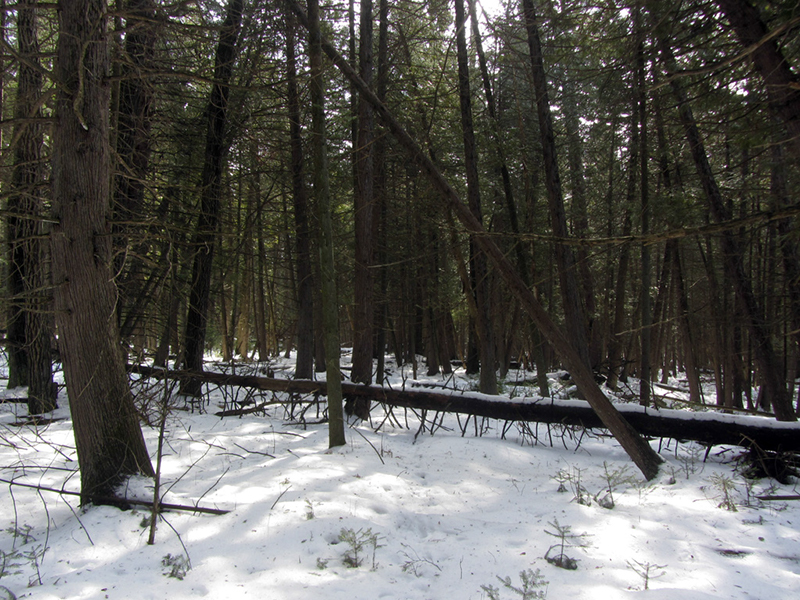
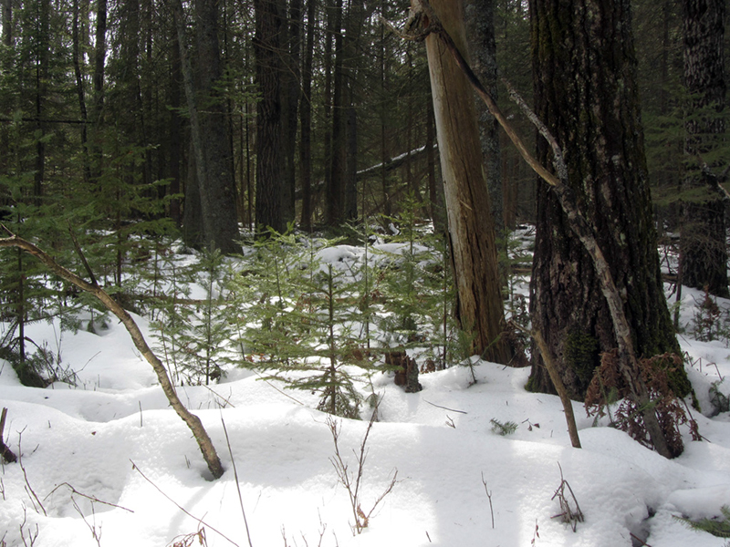
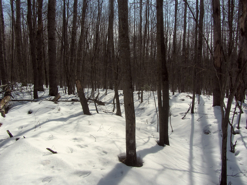
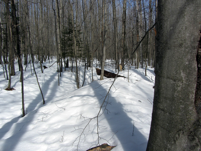
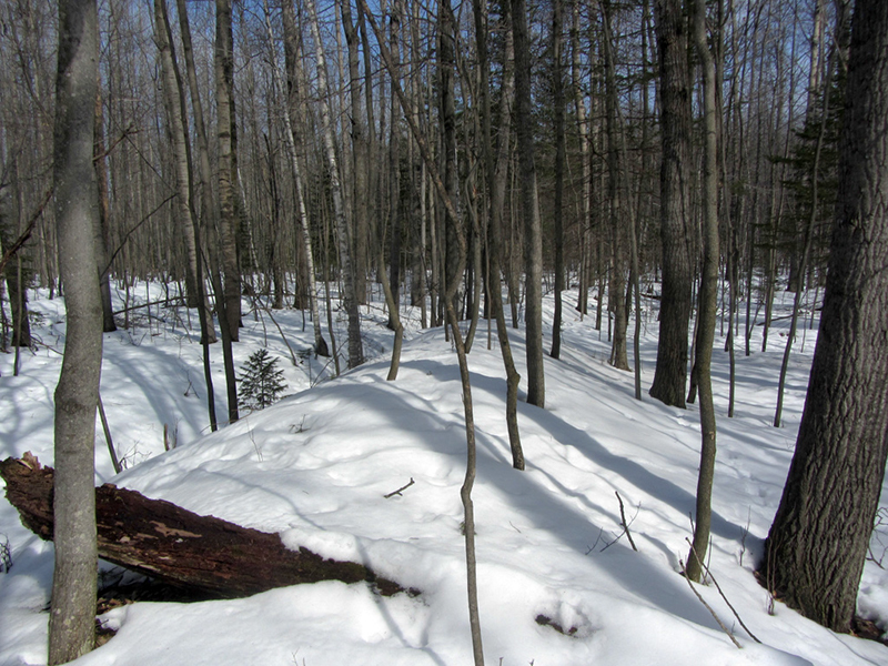
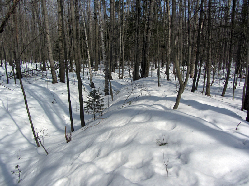
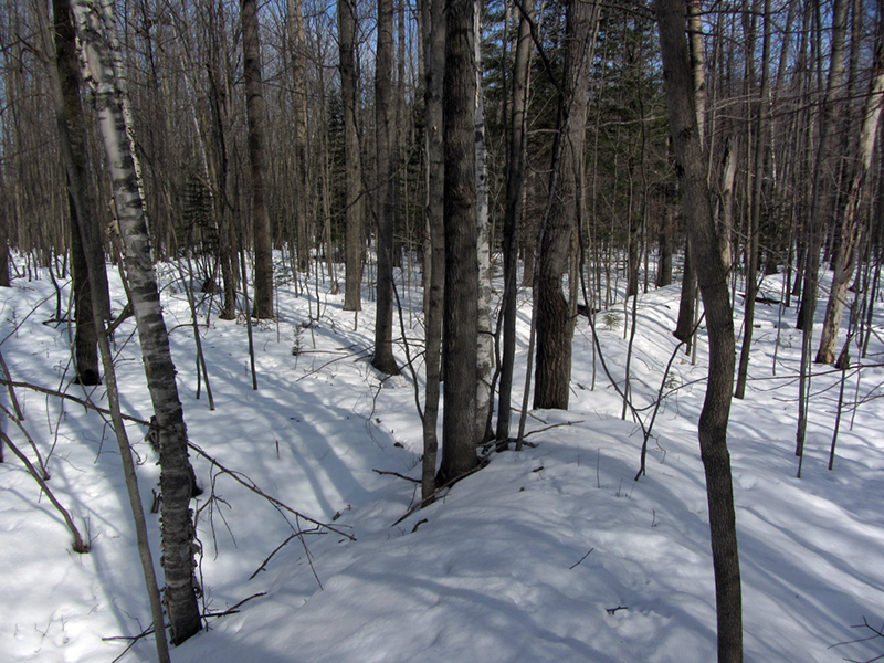
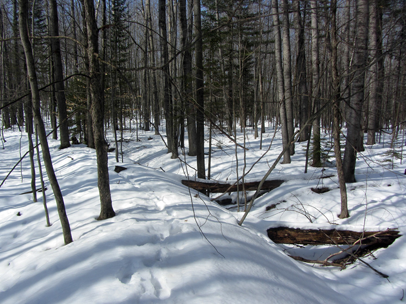
So far I was having no luck in my own search for any signs of unnatural land features that might speak to the presence of ancient earthworks, despite having trudged back and forth through the wet snow for a few hours. The sun had decided to come out however, and lit up the forest with the hope of the coming spring.
I probably hiked about three or four miles with all the zig-zagging and overlapping circles that I did to make sure that I covered every inch of ground, from multiple directions. The pace I kept was also very slow and methodical, taking plenty of time to scan the terrain for any clues that might reveal an ancient past. The elder cedars stood mute, unwilling to divulge what old memories they may have witnessed in this valley.
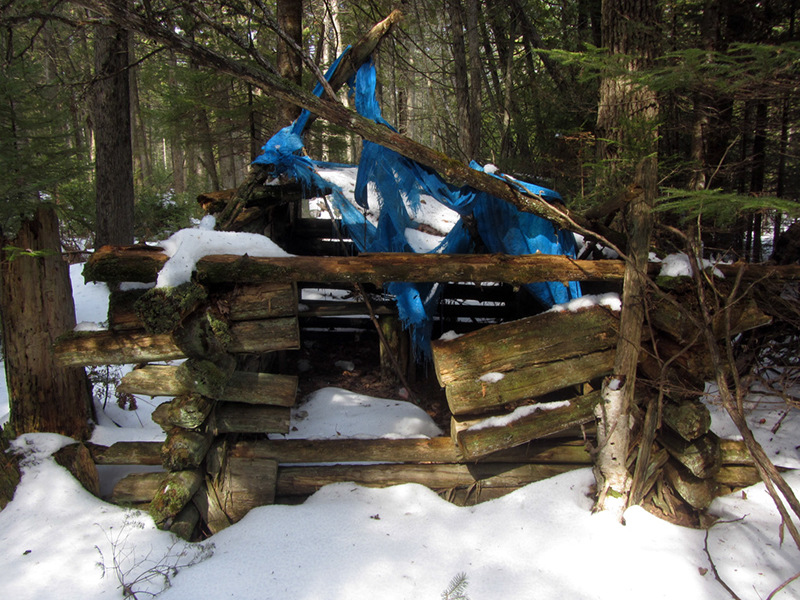
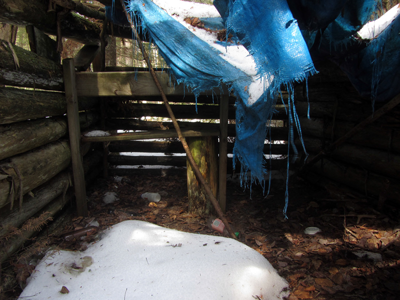
After some time I did indeed come across some irregular shape protruding from the background static of endless trees, but it was no earthwork. A rudimentary miniature log cabin took shape as I neared:

It appeared to be a hunting blind, used fairly recently. I have to admit I was jealous of these quarters, as my own deer hunting perches have been much less commodious.
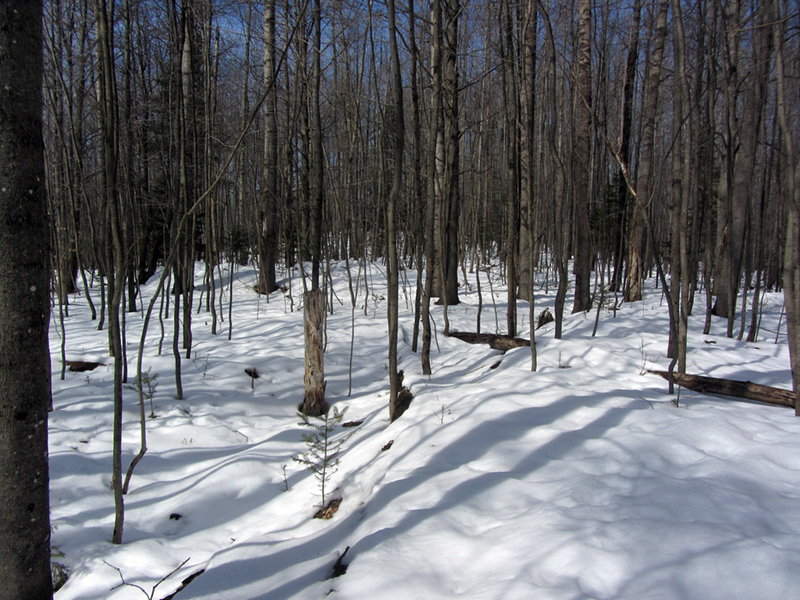
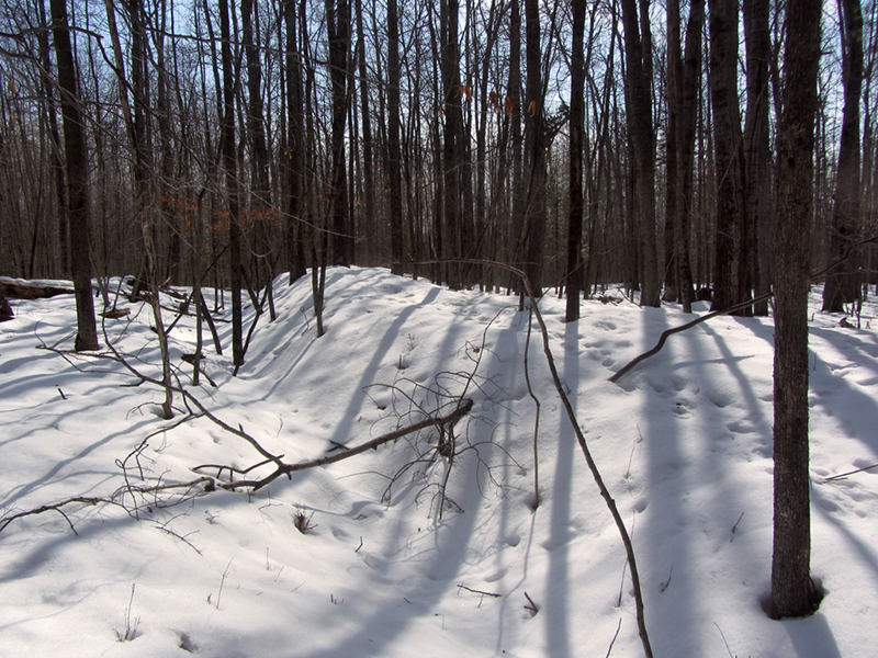
Soon after leaving this blind I realized that I had already made it back to my starting point, and that if this earthwork was indeed still out there then I must have passed right over it without noticing.
Fairly discouraged and frustrated, I headed back to my truck for a rest and to regroup. I still knew of a couple other spots where earthworks might be, so I drank some water before walking up the road a ways and diving back into the woods. Sadly, the likelihood of finding these other mound sites was much lesser, by my estimation, than the one I had just exhausted. I got the feeling that I would be heading back home to the drawing board empty-handed once again.
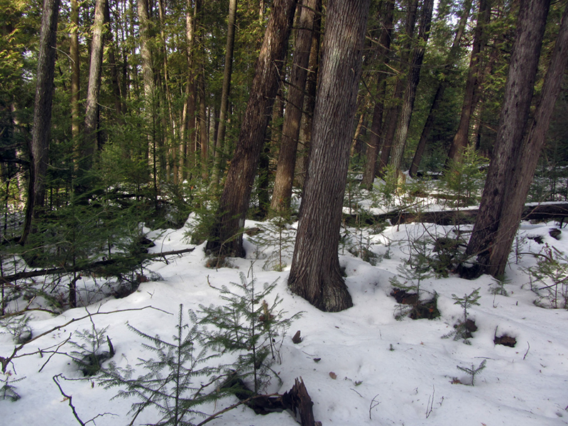
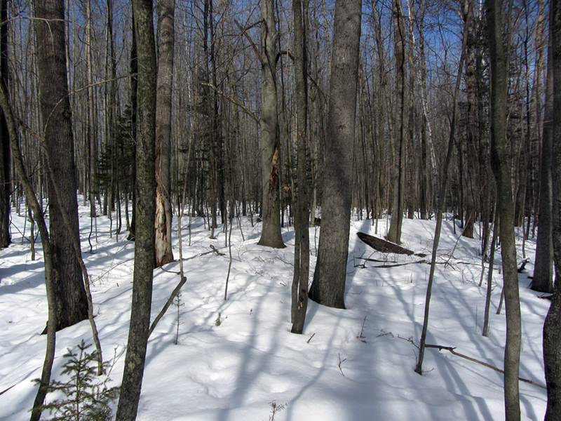
When I came into a stand of hardwoods I was almost positive I was in the wrong area, but I kept going, partially because it was just such a nice day for a walk in the woods.
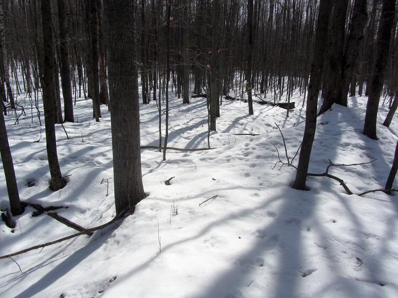
I wandered around casually, following the many deer paths that criss-crossed these woods. I had already been doing this for much of the day, partly because it was easier than trudging through the deep snow, and partly because something in my mind told me that the deer might find some use for the earthworks as a shelter for sleeping, and that the paths might lead straight to one of them.
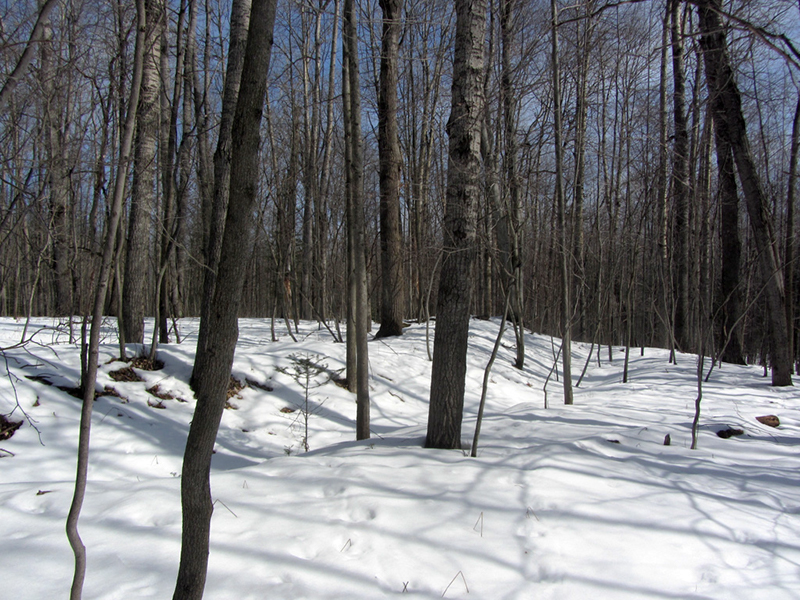
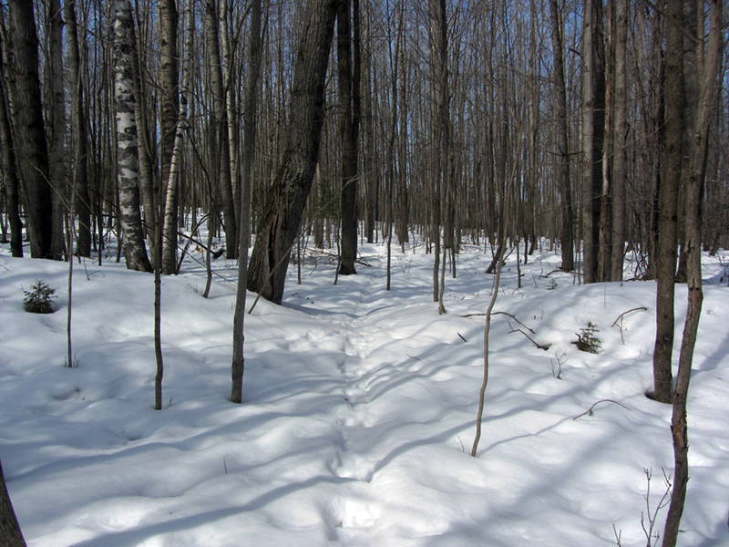
As I meandered in an uphill direction, I suddenly detected what I thought looked to be a moat-like depression in the ground ahead of me to the left:
As I came closer I noticed that it continued to my right as well, and there was a slightly raised berm immediately behind it:
Holy &*@#, this could be it! There was only one way to verifiy it however--I had to walk around it to see if it went in a complete circle.
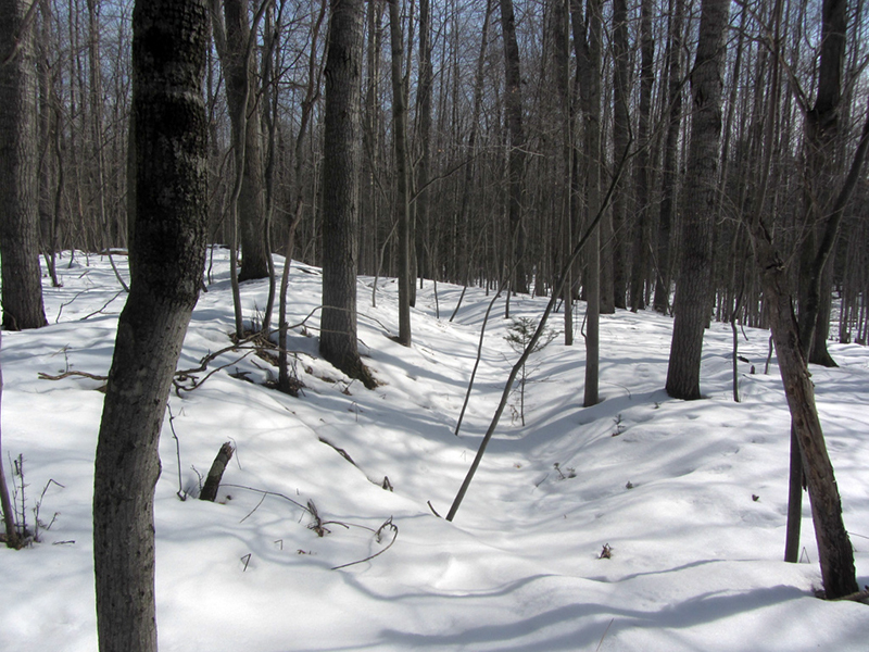
I crossed the berm and looked back behind me to see that the "moat" feature was indeed well-pronounced:
Having walked the woods of Michigan since I was old enough to leave the house on my own, and counting myself as fairly experienced in reading terrain, I immediately had a very strong and exciting feeling this ditch was no naturally occurring change in topography--that it was indeed man-made. However, I kept my objectivity in tow as I continued to investigate.
I decided to begin by walking in a clockwise direction along the top ridge of the raised berm and keeping an eye on the ditch...if I was able to do this and return to the point where my tracks in the snow began, then I could officially say that it was in the shape of a circle and that I had found one of the ancient earthworks. I'd be lying if I said that I wasn't a little pumped up at this point.
An interesting new hypothesis is explored in a more recent paper by Meghan C.L. Howey and John M. O'Shea, published in the April, 2006 volume of American Antiquity, entitled "Bear's Journey and the Study of Ritual in Archaeology." Howey & O'Shea suggest the premise that the earth ring enclosures in northern Lower Michigan are structures that were built for ritual purposes, in a slightly later time period than originally thought (~1200 AD), and present strong evidence that they were part of the Midewiwin ceremonies of initiation and teaching. The Midewiwin teachings are one of the most guarded components of Anishinaabe culture. I talked about the Midewiwin in an older post.
Here you can see the shape of the berm curving off to the right:
Here you can see the shape of the berm curving off to the right:
Howey & O'Shea claim that recent University of Michigan studies of the Missaukee County Earthworks provided data that "parallels the tale of origin and the delivery of the great mystery of Midewiwin." Specifically, the relationships between paired earth ring enclosures, their respective openings or gateways, other nearby natural land features, and the discovery of new artifacts found buried on site fit into a theory that the earthworks would have been part of a ceremony that mirrored the origin myth of the Midewiwin, where initiates actually traveled along a sacred path to these sites as they reenacted Bear's travels with the mide pack. The two "twin" enclosures represented the "two Earths" along Bear's journey, and other similar earthworks such as those in Ogemaw County too served the same purpose.
The article further concludes that because of these parallels between archaeological evidence and the dating of materials found on site, that the Midewiwin part of Anishinaabe culture actually predates European contact...and I find myself wondering now if this means that these earthworks were in fact not built by the Yamkodesh but rather the early Anishinaabeg themselves, in a time period where they coexisted with the Yamkodesh? At any rate, Howey & O'Shea's article is very interesting and theirs is the best explanation of the enclosures' purpose that I've heard so far.
I kept following the righthand curvature of this wall, and it was quickly evident that if it was indeed a complete circle or oval, it enclosed a very large area. It occurred to me that after I made the full trip around it, I should also try walking directly across it while counting my paces, to see if the dimensions matched up with what I had read they should be.
I also made a simple offering of some of my food to the four directions, out of courtesy and respect to the spirits of this place.
It looked like I might be approaching one of the gateway openings in the wall:

I stepped off the berm to get a different perspective from the side, and sure enough, here was a gap in the wall that also provided a bridge across the moat...
...and apparently I was correct in thinking that the deer paths might lead me to my goal--they seemed to go directly to the gateway! The raised wall continued on the other side of the gateway just as it had before, with extraordinary uniformity:
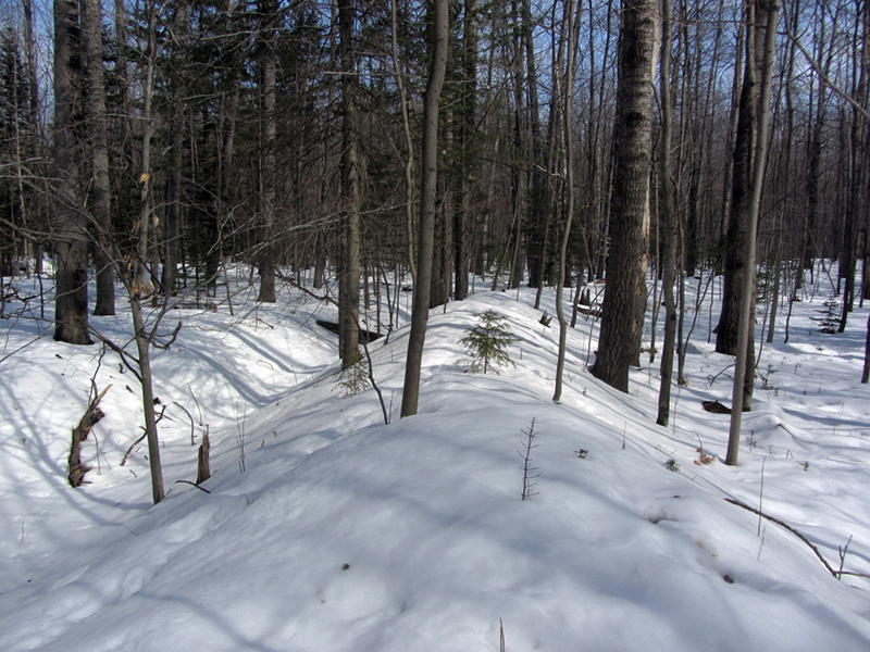
Considering how quickly our mightiest architectural achievements such as the Packard Plant or the skyscrapers of Detroit fall into decay once they are left abandoned to the elements for a couple years, it is almost impossible to conceive of how a simple hill of dirt out in the woods can last for millennia and still retain its shape like this. One must take profound pause at just how much change has occurred on this landscape since the earth rings were built; entire forests have grown up and been cleared away by either fire or axe many times over the centuries, all the while adding their layers and layers of fallen leaves to the carpet of soil; billions of rainstorms, snows, and thaws have in turn sculpted the ground. The Elfir River itself is likely to have meandered its changing course widely over the ages, eating away old landforms and creating new ones. The trees that are growing now on top and inside of the earth ring are mostly young I would say, probably none of them over 60 years old.
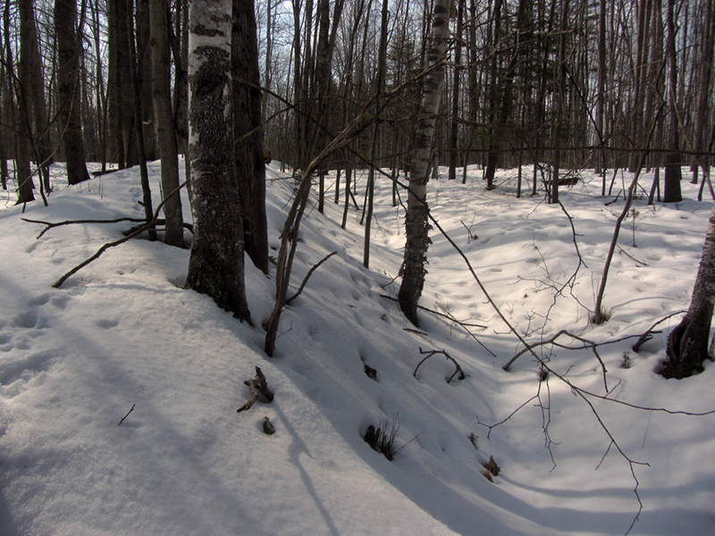
Looking back over my shoulder, the difference here between the top of the wall and the bottom of the ditch was very pronounced, and every bit of seven feet:
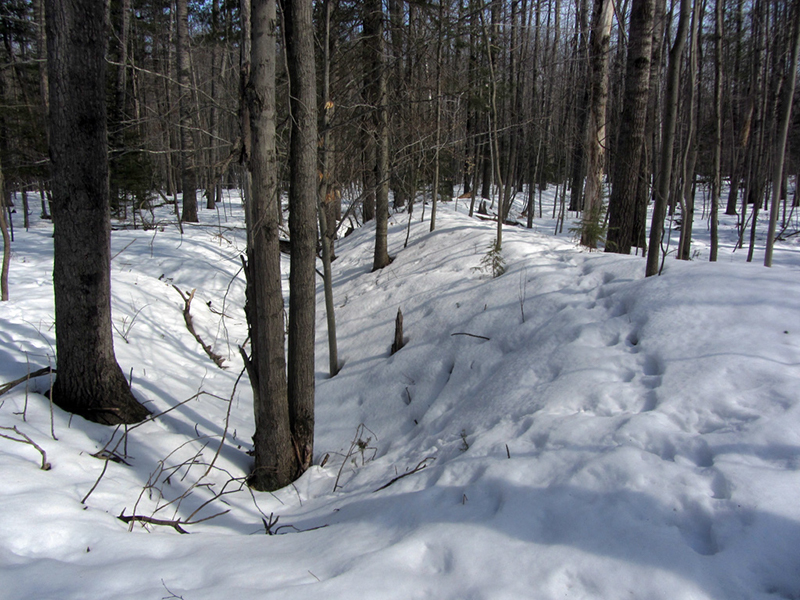
Judging by the shadows, I was standing at about the northernmost point of the earthwork.
These fallen logs laying across the moat help illustrate how much of a topographical variance there is.
It looked like I was approaching another gateway:

By the shadows of the trees I figured that I was nearing the eastern end of the ring now:
Another gateway...there were about three distinct gateways in all that I was able to discern:
And once again, the deer tracks led right through it:
As far out in the woods as I was, I was surprised when I came upon a sort of memorial to a deceased person here:

It was a statue of a fawn (with an ear broken off), and a bottle of Crown Royal (in the blue velvet bag).
It wasn't too much longer before I came back to my starting point where my footprints first came up on the mound, confirming that this earthwork was indeed a complete circle. It was an incredible feeling to have found this very special place after so long, to confirm that it was genuine, and to know just how old it is and feel the ties to our elder Michiganian ancestors. I then walked across the breadth of the earthwork, counting my steps to measure it, which came to 130 paces across (over 200 feet).

After a few more moments of basking in the glory of this discovery, I began the long walk back to my truck. If you should happen to find yourself in one of these places while Up North, I hope that you would treat it with respect and reverence. Baamaapii.
References:
Michigan County Atlas, Second Edition, by David M. Brown, p. 138-139
Michigan, A History of the Wolverine State, Third Rev., by Willis Dunbar & George May, p. 10-12
The Archaeology of Michigan, A Guide to the Prehistory of the Great Lakes Region, by James E. Fitting, p. 172-173
Ancient Earthen Enclosures of the Eastern Woodlands, edited by Robert C. Mainfort, Lynne P. Sullivan, p. 181-185
Ogemaw County, by the Rose City Area Historical Society, p. 7
http://geo.msu.edu/extra/geogmich/Saginaw-cession.html
http://libguides.lib.msu.edu/c.php?g=95603&p=624366
Strange Michigan, by Linda S. Godfrey & Lisa A. Shiel, p. 180
Weird Michigan, by Linda S. Godfrey, p. 35
Mystic Michigan, Vols. 1, 3, & 5, by Mark Jager
"Michigan's mysterious Indian mounds," by Vivian M. Baulch, Detroit News, June 6, 1997 (retrieved from http://detroittechnomilitia.com/main/index.php/techno-history/detroit-history/120-detroits-curse-indian-burial-mounds)
http://www.archive.archaeology.org/online/features/hopewell/who_were_hopewell.html
http://www.mpm.edu/research-collections/anthropology/online-collections-research/old-copper-culture
"Bear's Journey and the Study of Ritual in Archaeology," by Meghan C.L. Howey and John M. O'Shea, American Antiquity, Vol. 71 No. 2, (April, 2006), p. 261-282
http://www.mpm.edu/research-collections/anthropology/online-collections-research/old-copper-culture
"Bear's Journey and the Study of Ritual in Archaeology," by Meghan C.L. Howey and John M. O'Shea, American Antiquity, Vol. 71 No. 2, (April, 2006), p. 261-282
THis is wonderful post and thank you so much for sharing your journey! I hope that this is still an active site and you are still doing your walks in the woods. I stuymbled across this page, as I am doing some hunting for earthworks in Macomb County. I had heard about some mounds near Washington township somewhere and was wondering if you had any experience in that area to share. Thanks for your respect and careful navigation, miigwetch
ReplyDeleteYes, I am still out and about, but no, I don't have any particular knowledge of works in Macomb area. Thanks for reading.
DeleteAre the mounds north of Flint related to these ancient ancestors?
ReplyDeleteAre there any mounds near Iron Mtn, Michigan that would be related to these ancient ancestors?
ReplyDeleteI came upon your article while trying to find information on Damon. I noted the picture of the barn and was wondering what significance to the story it had. Does it mark one of the circles? I am the land owner and would love to know.
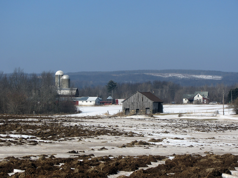
ReplyDeleteNo, the barn photo was just a stock landscape image I took to set the scene for the story. I dont remember where I took it now, but it was along a road in Ogemaw County.
DeleteVisited the site some 50 years ago. Inspired by Cranbrook Institute’s 1930 era report.
ReplyDeleteTried to visit ten years later but was floored to see a modern house built at the right-most (facing the river) ring!
Trying to re-find Cranbrook’s book to no avail…not on the internet. Such a truly fascinating place. Thanks for rekindling my interest.Dennis Havlena Cheboygan (worked 33 years for the Mackinac State Historic Parks)
dhavlena@gmail.com
As a fellow writer I like the way you weave your adventure with the historical/archaeological data. You should read Edward Benton-Banai's book 'The Mishomis Book, the voice of the Ojibway' to get accurate, that is elderly okayed, information about when the Ojibway migrated to the Great Lakes country. They started around 900 AD from the Canadian maritime and arrived about 400 years later. Also, Anishinabe are Algonquin speaking people. Wyandot are Iroquoian speaking so not Anishinabe. I write a lot about Native Americans of pre-history in my Substack, Acorn Archive. Check it out. garyaschlueter@gmail.com
ReplyDelete